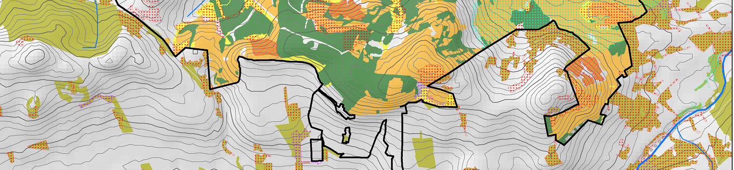
Much of the work we carry out is in intrinsically spatial in nature and SCL has a long history of involvement with spatial analysis using GIS and related tools.
Spatial Analysis (GIS)
Services
History
Technical Services
Our in-house GIS capability supports the other aspects of our work by providing:
- Experimental design
- High quality mapping from survey set up through to reporting
- Spatial analysis
- Data modeling and visualization
- Scripting (Python)
- Contract scoping and workflow management
- Efficient and centralized data management for all our spatial datasets
The majority of services are based around ESRI’s ArcGIS complemented with other data processing tools such as GlobalMapper.
Please visit our Projects pages to see examples of how we deliver integrated service packages to clients in this area.