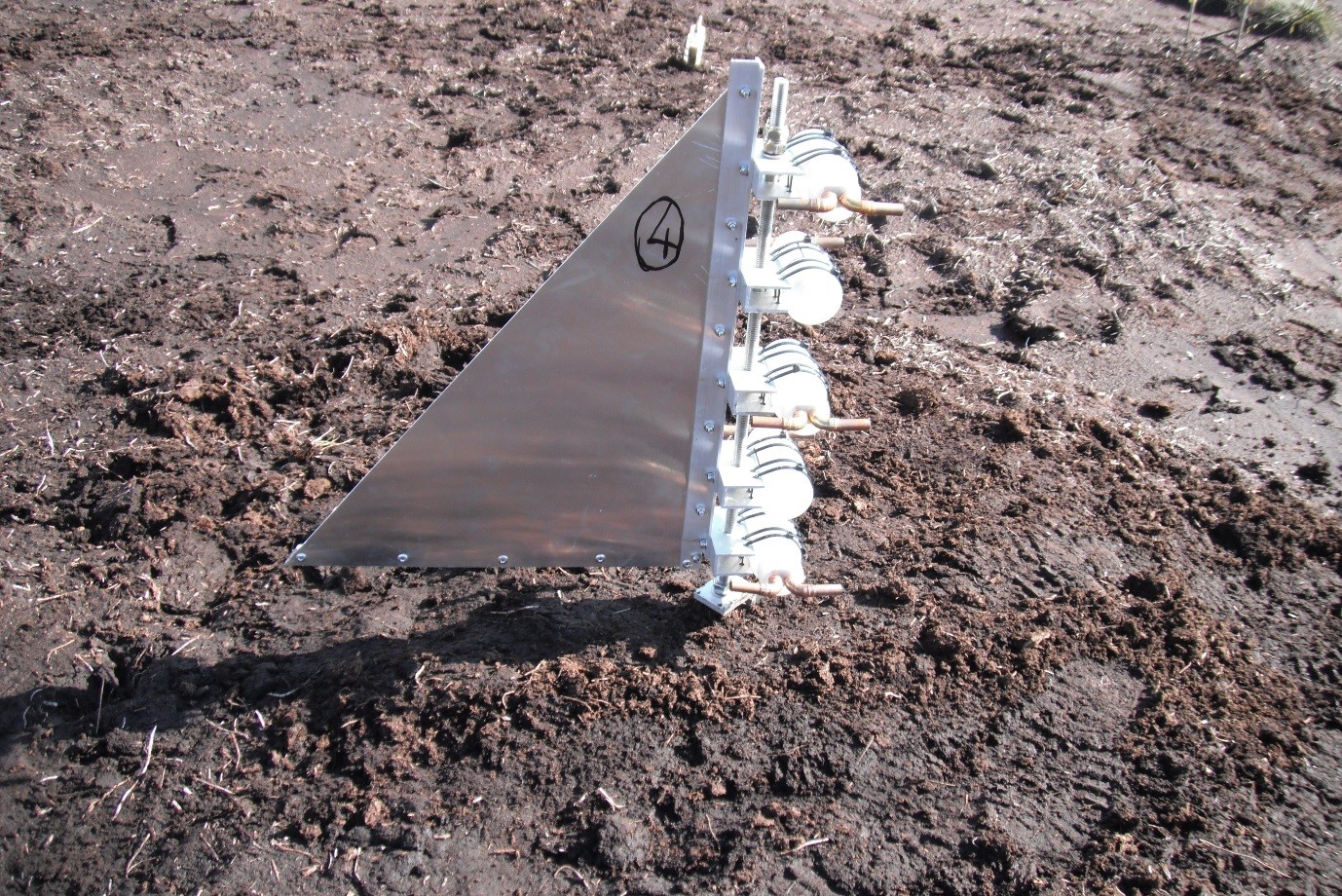
One of our current study sites is located at very high altitude in the Highlands on an eroding blanket bog. A key aim has been to quantify surface erosion rates arising due to weathering, to help develop a better understanding of the factors limiting recolonisation of plants on bare peat. We have recently installed a range of instruments to measure fluxes on the site, which has been interesting as we manufactured them ourselves. Here is one of the instruments we built, installed on site and ready to operate – it is called an MWAC and is used to measure rates of Aeolian erosion at different heights from the ground surface.